Short answer: Ría Lagartos is a protected coastal wetland and biosphere reserve north of Valladolid. Río Lagartos is the nearby town commonly used as a departure point for boat trips. Visit for mangroves, birds, coastal landscapes, and conservation learning, but never treat a wildlife sighting as guaranteed.
Last reviewed: July 17, 2026. Tour conditions, wildlife locations, weather, access, and prices change; confirm them with a responsible local operator.
Ría Lagartos or Río Lagartos?
The names are related but not identical:
- Ría Lagartos is the estuary, wetland system, and protected biosphere reserve.
- Río Lagartos is the town and municipality used by many visitors as a base for tours.
There is no conventional river called Río Lagartos. Using the distinction correctly makes maps, conservation information, and tour descriptions easier to understand.
Why the reserve matters
CONANP lists the Ría Lagartos Biosphere Reserve at 60,347.83 hectares. Its habitats include mangroves, coastal dunes, savanna, reed beds, grassland, and tropical forest. These connected environments support nesting, feeding, and migration for many species.
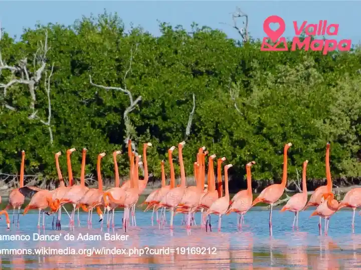
The American or Caribbean flamingo is the best-known bird associated with the reserve. CONANP also monitors many other waterbirds and coastal species. Counts change by season and year, so an old population figure should not be presented as today's number.
What visitors can realistically expect
Local boat trips often focus on birdwatching, mangroves, the estuary, and coastal scenery. Depending on season, tide, weather, and chance, visitors may see flamingos, pelicans, herons, cormorants, storks, crocodiles, and other wildlife.
A responsible guide should not promise a particular animal at a particular distance. Wildlife moves, nesting areas require protection, and access rules can change.
Planning a day trip from Valladolid
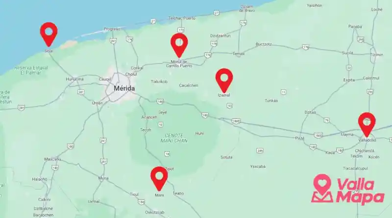
Río Lagartos is north of Valladolid and requires a transport plan. Driving, a private transfer, an organized tour, or a route via Tizimín can work, but journey times vary with the exact starting point and stops.
Before leaving Valladolid:
- reserve with an identifiable local operator;
- ask what the trip includes and how long it lasts;
- confirm the meeting point and return time;
- ask about life jackets and shade;
- check wind, rain, and heat conditions;
- carry water, sun protection, and a charged phone;
- clarify cash and card payment;
- explain mobility needs before booking.
Save the route offline. Use the VallaMapa interactive map to organize the Valladolid part of your day, but use the operator's confirmed meeting pin for the coast.
Responsible wildlife viewing
The reserve is a habitat, not a stage. Follow the guide and protected-area rules:
- keep distance from birds, nests, and crocodiles;
- never ask a boat operator to approach closer for a photograph;
- keep noise low;
- do not feed wildlife;
- keep pets away from nesting areas;
- take rubbish back with you;
- use products and behavior that reduce harm to water and wildlife;
- do not remove shells, plants, mud, or other natural material.
CONANP specifically asks visitors not to disturb flamingos or nesting areas. A better photograph is not worth disrupting feeding or reproduction.
Flamingos and seasonality
Flamingos use different wetlands across the northern Yucatán Peninsula during their life cycle. Reproductive timing and concentrations vary, and climate conditions can alter the pattern.
Ask the operator what has been observed recently, but understand that yesterday's sighting is not a guarantee for today. Ría Lagartos remains worthwhile as a wetland and coastal ecosystem even when flamingos are distant or absent.
FAQ
Is Ría Lagartos a river?
No. The name refers to an estuary and lagoon-wetland system. Río Lagartos is the town and municipality.
How large is the biosphere reserve?
CONANP currently lists 60,347.83 hectares of terrestrial and inland-water protected area.
Can I see flamingos all year?
Flamingos may be present at different times, but location, numbers, distance, and visibility vary. No ethical operator can guarantee a specific sighting.
Do I need a boat tour?
A boat tour is a common way to experience the estuary, but choose an identifiable operator, confirm what is included, and follow protected-area rules.
Can I visit Ría Lagartos as a day trip from Valladolid?
Yes, with advance transport planning. Confirm travel time, meeting point, tour duration, weather, and the return journey before leaving.
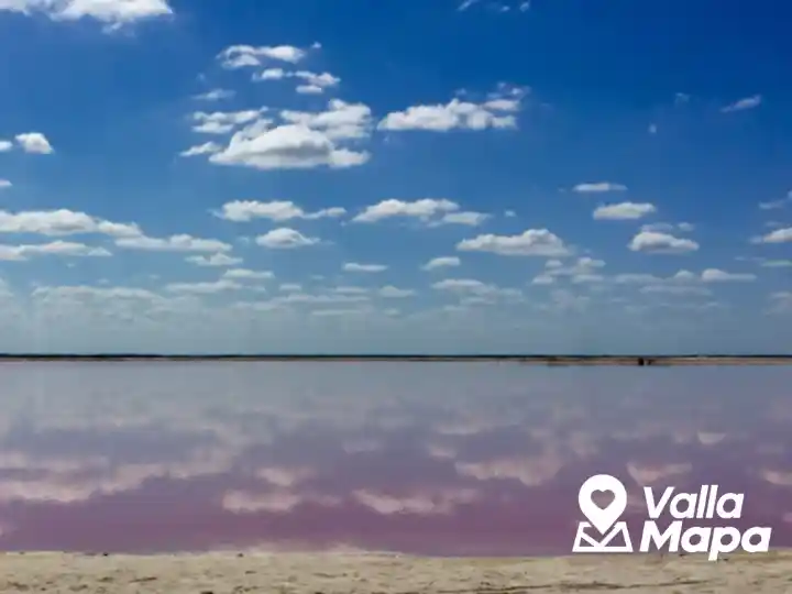
Is Las Coloradas the same place?
No. Las Coloradas is a separate community and salt-production landscape east of Río Lagartos. Some tours combine areas, so confirm exactly where you will go and what access is permitted.
What should I bring?
Bring water, sun protection, light clothing, secure footwear, a charged phone, and the payment method confirmed by your operator. Binoculars can improve wildlife viewing without approaching animals.
Is wildlife guaranteed?
No. Seasons, weather, tides, nesting rules, and animal movement affect every visit.