Day trip to Las Coloradas from Valladolid: pink lagoon, Rio Lagartos and timing
Short answer: Las Coloradas is possible as a long day trip from Valladolid, especially by car. The best plan is usually to combine it with Rio Lagartos, carry cash, manage expectations about the pink color and leave early.
Last reviewed: July 20, 2026. Access rules, tour prices and the intensity of the pink color can change, so confirm local conditions before going.
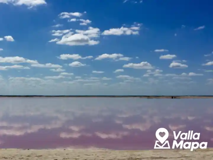
Las Coloradas is famous for its pink water, salt flats and open coastal landscape. It sits on the north coast of Yucatan near Rio Lagartos and San Felipe, far enough from Valladolid that the day needs planning.
The color people expect from photos depends on sun, season, salt activity, water conditions and the exact area visited. It can be spectacular, soft pink or less dramatic than social media suggests.
Route from Valladolid
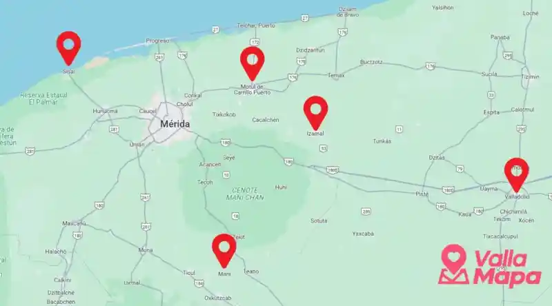
Most visitors drive from Valladolid through Tizimin toward Rio Lagartos or Las Coloradas. If you do not have a car, public transport usually means connecting through Tizimin and allowing a much slower day.
| Plan | Best for | Tradeoff |
|---|---|---|
| Drive directly to Las Coloradas | Photos and salt flats | Fewer food and service options. |
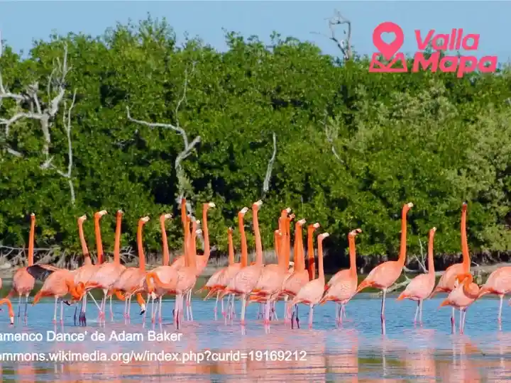
| Rio Lagartos boat tour plus Las Coloradas | Wildlife, flamingos and lagoon context | Costs more and needs more time. |
| Public transport | Budget travel | Long day, less flexibility, harder with heat. |
What to bring
Bring cash, water, sun protection, hat, sunglasses, phone battery and snacks. Do not count on every stop having cards, ATMs or full restaurant options.
If you add Cancunito beach, bring everything you need and carry your trash out. It is a beautiful area, but services are limited.
Should you go direct or through Rio Lagartos?
If this is your first visit, Rio Lagartos often makes the day richer because local boat operators can add mangrove, bird and coastal context. If your only goal is one pink-lagoon photo, Las Coloradas direct can work, but keep expectations realistic.
More Valladolid planning
For a calmer Valladolid base, use the VallaMapa interactive map and compare day trips before stacking too many long routes into one short visit.
FAQ
How far is Las Coloradas from Valladolid?
It is a long day trip by Yucatan standards. Driving time depends on route, traffic and stops, so leave early and avoid planning an evening commitment back in Valladolid.
Is the water always bright pink?
No. The pink color varies with sunlight, salt concentration, season and water conditions. Go for the landscape and coastal experience, not only for one photo.
Can I swim in the pink lagoon?
No. The pink lagoon is not a swimming cenote or beach. Respect signs, barriers and local instructions.
Should I take a Rio Lagartos tour?
For many visitors, yes. A Rio Lagartos tour can make the trip more worthwhile by adding wildlife, mangrove and local context.
Can I visit without a car?
It is possible but less comfortable. Public transport can be slow and may reduce your time at the coast. Confirm return options before leaving Valladolid.